Overcoming Mt. ‘Sup-fearior’
Mt.Superior
Some photos and video of my 1st trip to the “beast” with friends Alex Gavic, Phil Parrish and Abe Dintaman
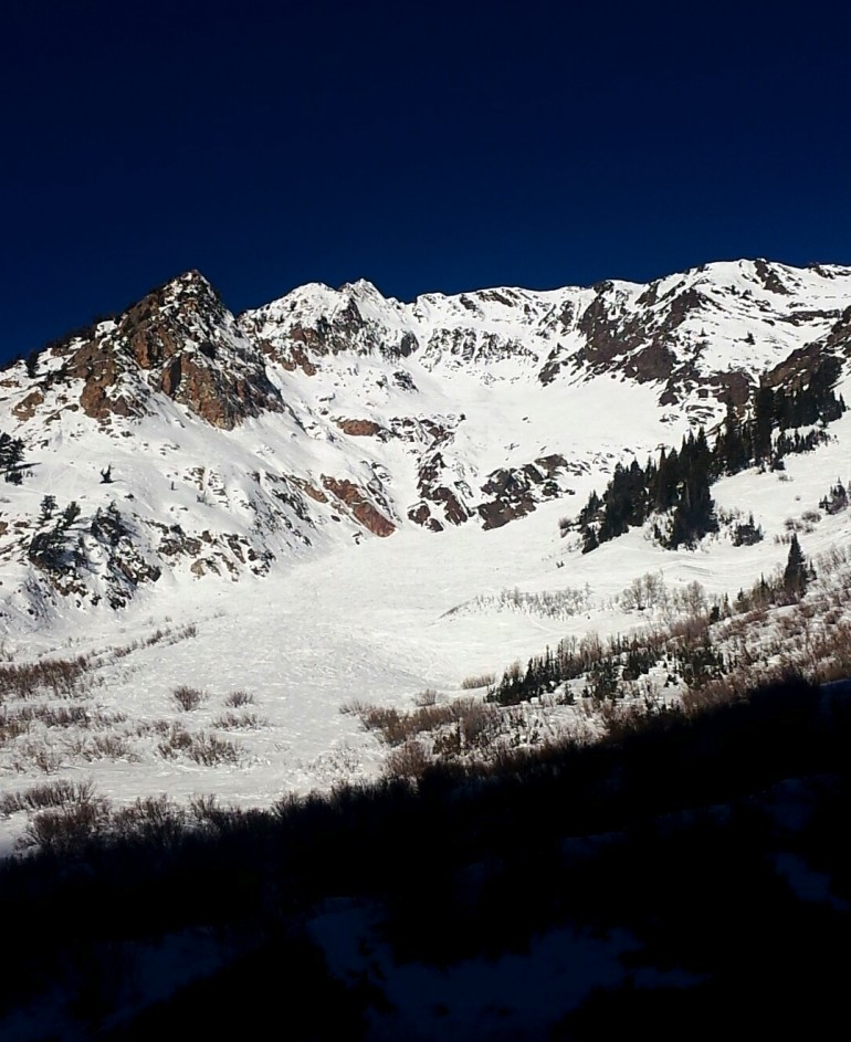
This was my “recon” photo. I like to get an idea of the line I want to ride, then take a photo of it to use as a reference when I get near the top. In this case I was looking at multiple lines down the middle of the mountain near the top then making my way lookers right for an exit.
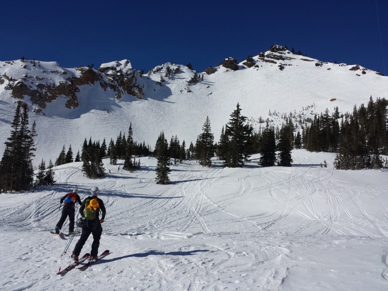
Making our way up to the main ridge line while looking at Flagstaff Ridge.
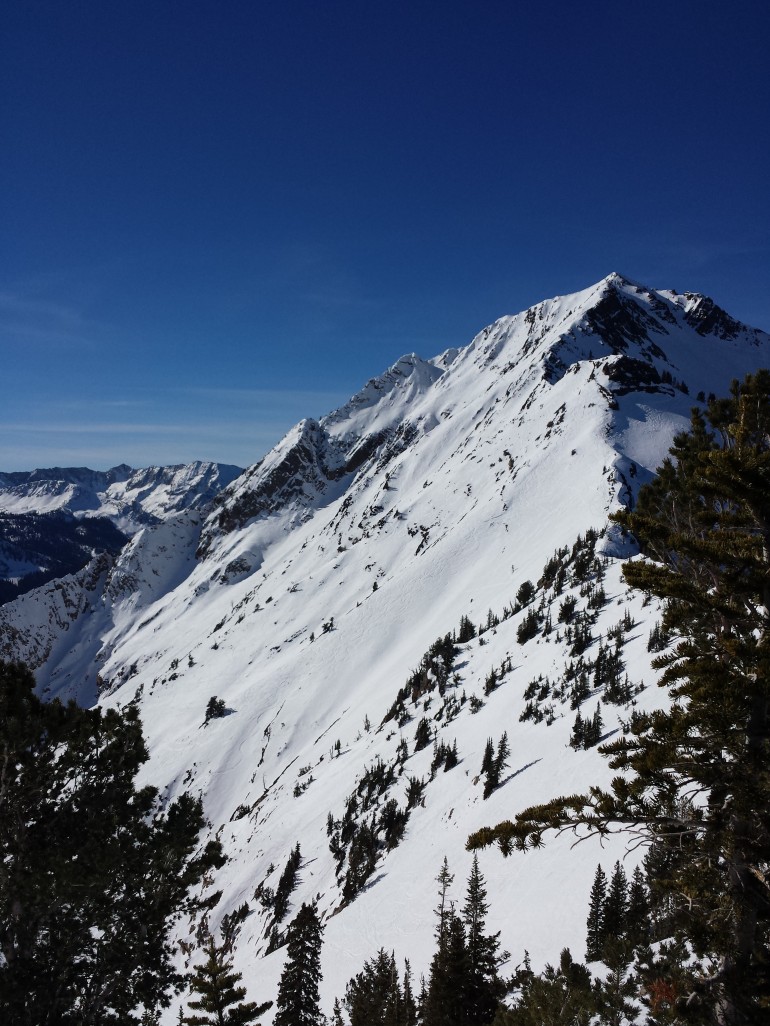
Another “recon” shot. After making it to the ridge and traversing past Flagstaff, Mt. Superior came into view. I snapped this as I noticed a pocket of powder about 3/4 of the way up the west ridge. The conditions on this day are known as ‘sh!t-f&ck conditions’. AKA sun-baked and icey-chunder. It was the first time in a long time that the avy conditions were low danger. The thought of having an actual powder turn 2 weeks after the last storm was driving me wild. As you can see we still had a long ways to go!
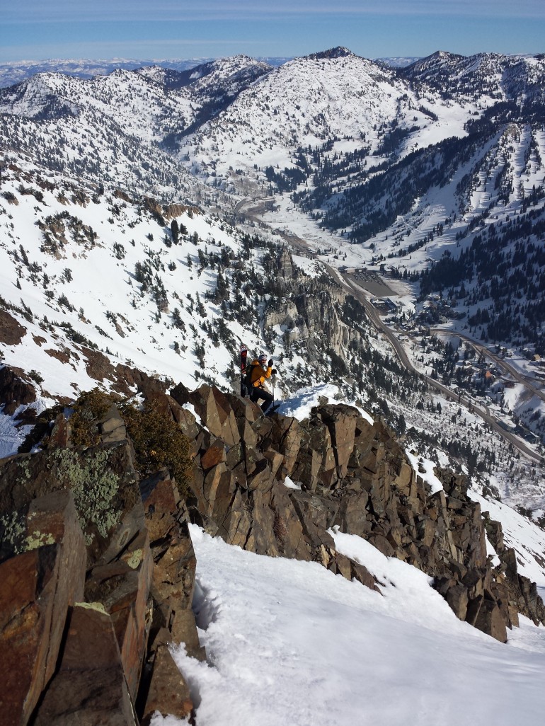
Abe chillin’ on the ridge. We’re gaining in elevation. Such a beautiful feeling!
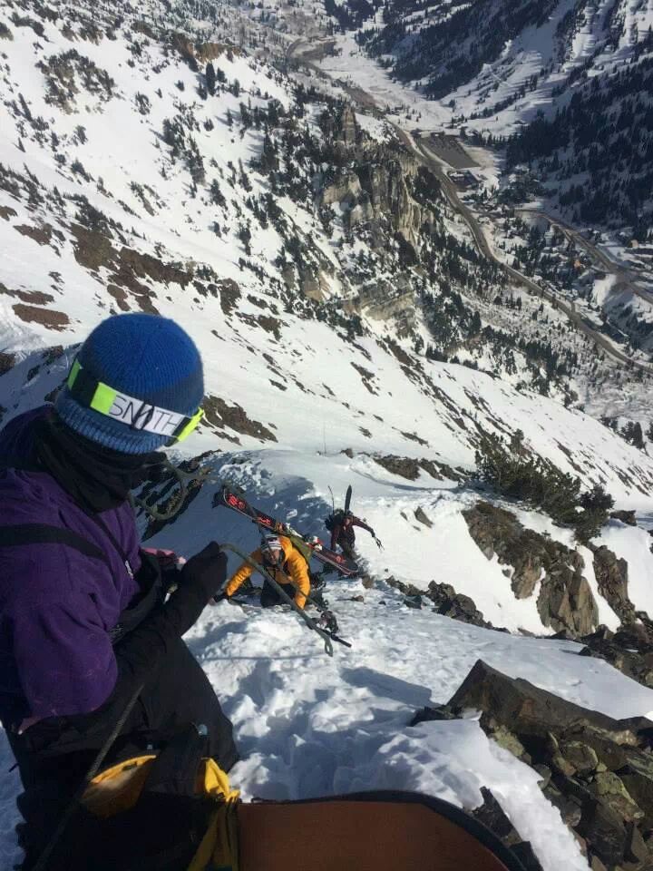
Photo Credit: Phil Parrish
As the elevation got higher the risk became a bit greater. This is one of the toughest sections of the climb. A true no fall zone….
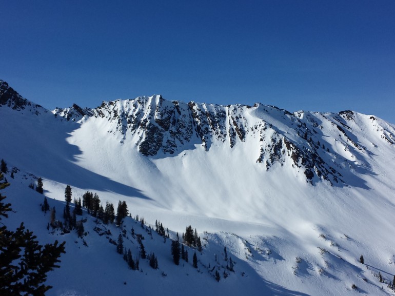
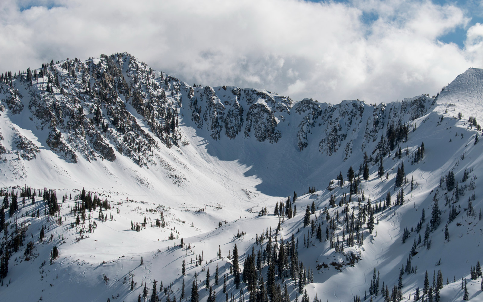
Nearing the top, Cardiac Bowl comes into view. This is definitely a “recon” photo. I will be back for this!
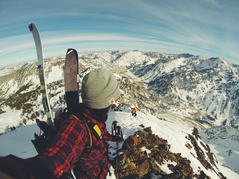
Looking east from the top!
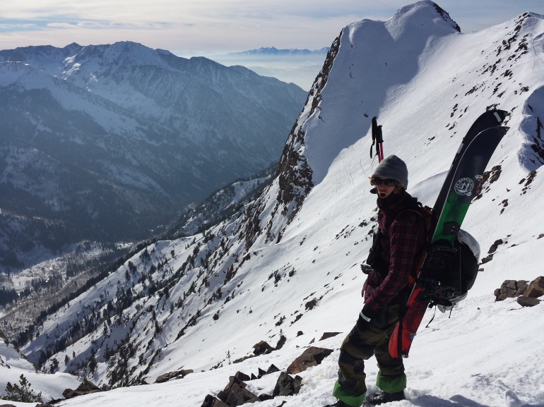
Standing at the top looking west at Monte Cristo and the SLC valley way back there in the sad smog.
Check out this quick video of what it’s like to hike a ridge 3,000FT off the base of the canyon.
POV ridge line hike and ride of Mt. Superior
A 360 view of the Mt.Superior peak and a short few turns of the only pow left after a few weeks of no snow!!
The rest of the line wasn’t worth including in the video. ICE, chunder and more ICE. Great for experience. Not so great for video!
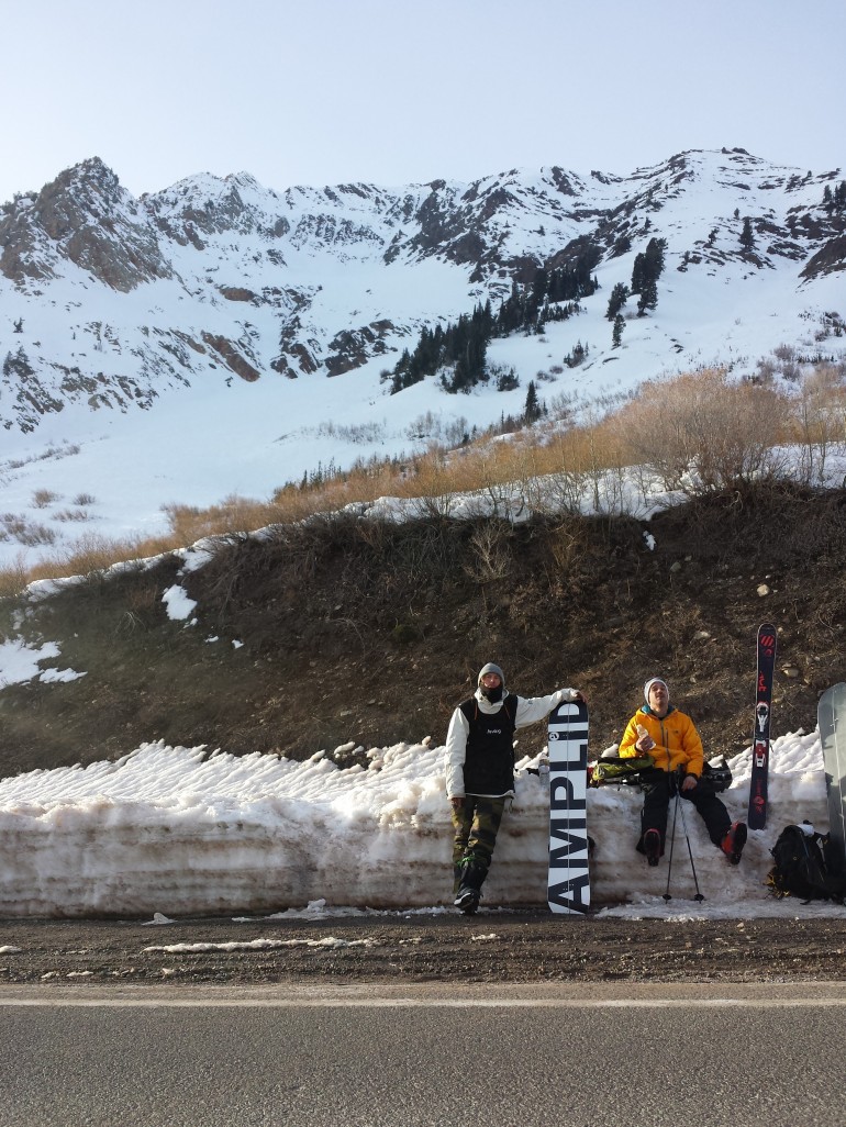
After 5 hours , 9 miles and 3,000 FT elevation change it feels great to be down. I had an excellent time. I highly recommend the journey to anyone with the skills. Time to celebrate!!!


Amazing shots! Good perspective from the top.